+91 94382 00113geobbsr@gmail.comBhubaneswar, Odisha
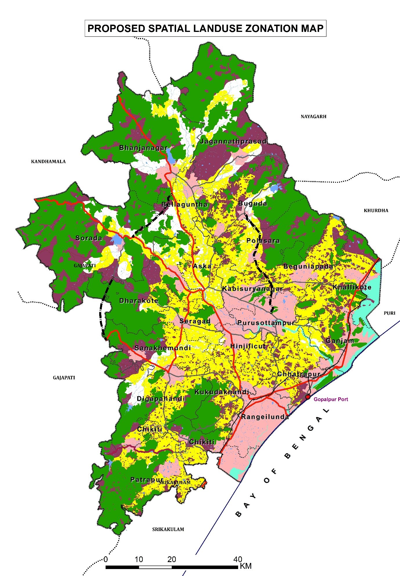
We're Hiring Geo Spatial Solution: Openings for Urban Planner & GIS Expert (Bhubaneswar, Odisha • 12 Towns Master Plan)
View Job Details ↓ Apply Now
Geospatial intelligence for real-world decisions

Where quality data becomes a clearer path forward.

Geo Spatial Solution delivers GIS, remote sensing, GPS/DGPS survey, total station survey, hydro-geological studies, spatial planning and data conversion services for public, development and infrastructure programmes.

Quality-focused deliveryMulti-disciplinary expertiseBhubaneswar-based GIS setup
Current Openings • Geo Spatial Solution

Hiring: Urban Planner & GIS Expert

Location: Bhubaneswar, Odisha • Project: Master Plans for 12 Towns • Salary: Negotiable, based on knowledge, skills, and experience

1. Urban Planner

1 Position

Experience: 1–2 Years

Key Requirements & Responsibilities:

  • Master’s in Urban & Regional Planning / Urban Planning or related field
  • Knowledge/experience in Master Plan preparation (M.Plan / B.Plan)
  • Good report writing and documentation skills
  • Strong communication and analytical skills
2. GIS Expert

1 Position

Experience: 1–2 Years

Key Requirements & Responsibilities:

  • Strong knowledge of ArcGIS / QGIS
  • Experience in GIS mapping and spatial analysis
  • Knowledge of GIS-based Master Plan projects preferred
  • Good analytical and documentation skills

How to Apply

Interested candidates can send their updated CV / Resume to:

✉ Send CV to geobbsr@gmail.com

• Salary: Negotiable, based on knowledge, skills, and experience •

What we do

Integrated geospatial services

From field data capture to map-ready decision support, GSS brings surveying, spatial analysis, digitisation and domain consulting into one coordinated workflow.

◉

GIS & Remote Sensing

GIS database development, thematic mapping, remote sensing analysis, digital image processing and spatial decision support.

View service →
⌖

Survey & Mapping

GPS/DGPS, total station, household, hydro-geological and field-based data collection for accurate mapping.

View service →
▦

Planning & Consulting

Land-use planning, master planning, urban infrastructure mapping, project consulting and sector-focused analysis.

View service →
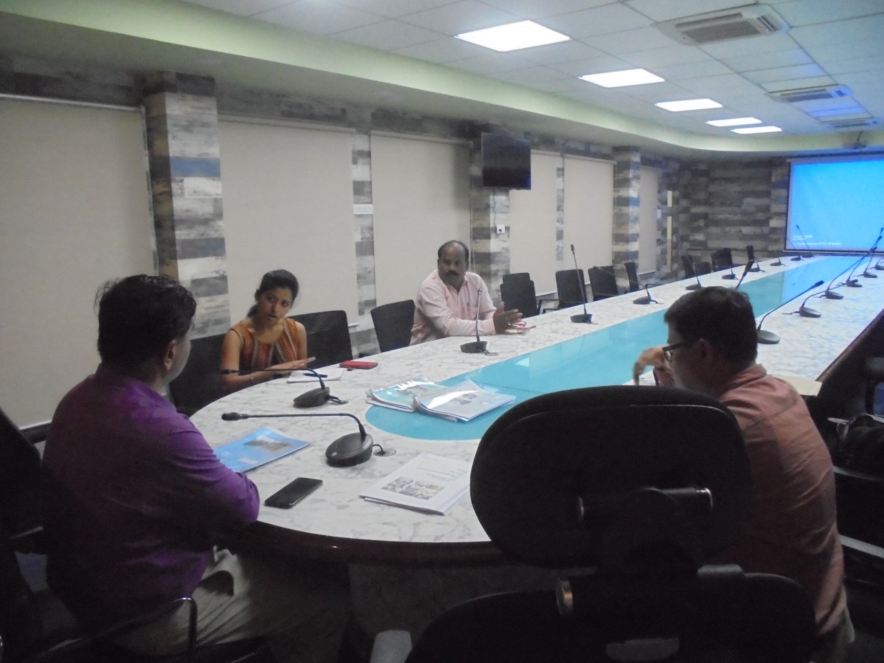
Geo Spatial Solution team discussing a GIS project
State-of-the-art GIS setup
Skilled operators, experienced project managers and multi-disciplinary consultants.
About GSS

Spatial expertise grounded in practical implementation.

Geo Spatial Solution is a multi-service information technology and GIS consulting firm. Its professionals have project experience across natural resources, health, poverty, disaster, demographic, engineering, environmental, facility and land-record mapping.

  • Focused quality standards
  • Cost-effective solutions
  • Flexible work schedules
  • Timely delivery
  • Experienced managers
  • In-house infrastructure
Learn about GSS
Sector applications

Built for diverse planning needs

Urban & infrastructureHealth & educationAgricultureWater resourcesForestry & biodiversityDisaster managementLand recordsUtilitiesTourismWaste management
Selected work

Projects that turn field realities into usable maps.

Examples are based only on the project material provided by GSS.

Clients & project partners

Project partners and clients

See project context →
Project partner logo
Start a conversation

Have a mapping, survey or planning requirement?

Discuss your project →
✆